




Get this prompt + 9 more with Select$14 your first month, then $19/mo$14 first month, then $19/mo
View Select
 Instant access
 Commercial use
 Money‑back
By purchasing this prompt, you agree to our terms of service
7
Views
GPT-6.1-SOL+IMAGE-2.5


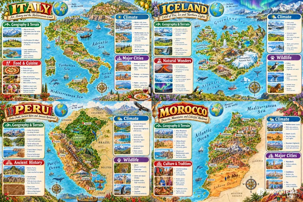
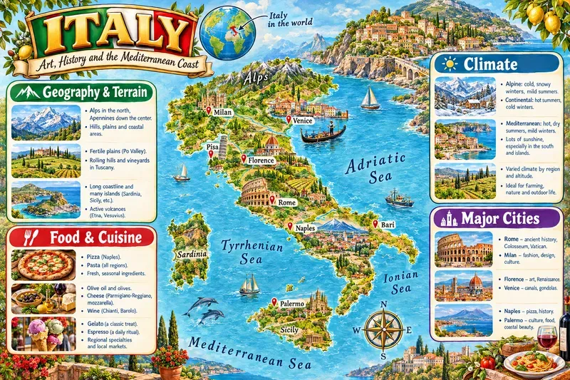
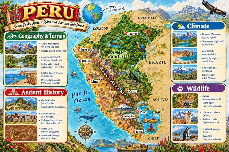
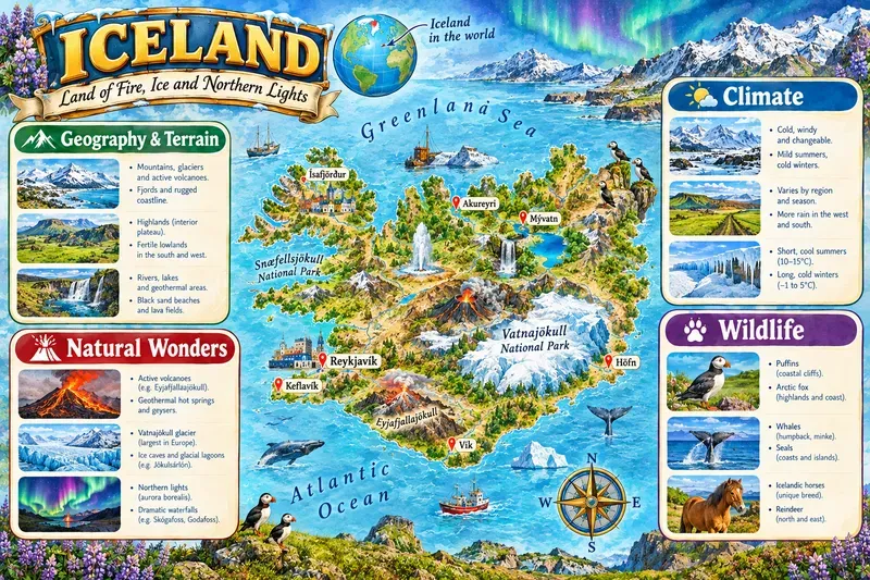
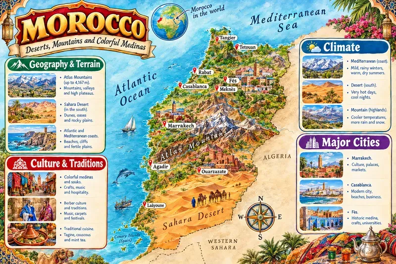
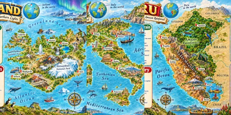
Create richly illustrated educational map infographics of any country or region: a detailed central map with cities, rivers and landmarks, a decorative title banner and four themed info panels with mini illustrations. Ideal for classrooms, homeschool printables, travel blogs, posters and social posts. Customize the place, subtitle, info sections, signature highlights and art style. Get a landscape, high-detail poster that feels both fun and informative.
...more
Added 2 weeks ago
